Southland region

The Southland Region is the second largest in New Zealand and covers an area of 34,000 square kilometres. Just over half (53%) of Southland is managed as conservation estate, while farmland occupies 85% of the non-conservation land.
If you can't find what you're looking for, please contact Environment Southland on 0800 76 88 45 or email service@es.govt.nz.
Water quality results displayed on LAWA may differ from those reported by Environment Southland as the timeframes for reporting differ and can therefore show different trends.
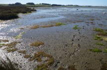
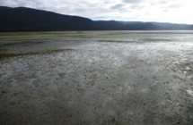
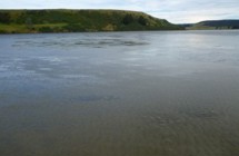
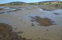
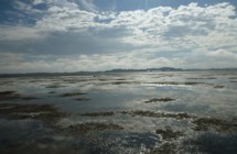
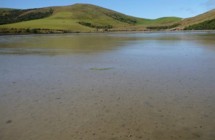
Southland's estuaries are monitored using two approaches: broad-scale habitat mapping (i.e., mapping large seaweed, seagrass areas, edge vegetation and muddiness type and extent); and fine-scale monitoring which includes monitoring of muddiness, sediment metal content, sediment nutrients and macrofauna in the seabed at specific sites. The ecosystem health condition of Southland estuaries is assessed based on the data collected from both broad and fine scale monitoring. Therefore, the fine scale monitoring alone (presented in LAWA) might not reflect the overall ecosystem health condition of a given Southland estuary. This is due to the relative small number of fine scale sampling sites not being adequately representative to extrapolate to whole estuarine condition.