Hawke's Bay region
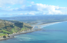
Hawke’s Bay is located in the east of the North Island on the Pacific Ocean coast. The region’s total land area is around 14,200 square kilometres (1.42 million hectares). It includes mountain ranges to the north and west, 350km of diverse coastline (cliffs, estuaries, sand beaches, gravel beaches), and productive plains and hill country.
Hawke’s Bay Regional Council is responsible for managing and monitoring environmental resources, using an extensive network of monitoring equipment across more than 350 monitoring sites.
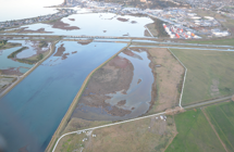
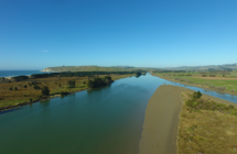
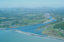
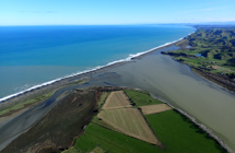
Hawke's Bay's estuaries are classified into two hydrosystem types. Shallow Intertidal Dominated Estuaries (SIDE) include Ahuriri Estuary, Maungawhio Lagoon, and Pōrangahau Estuary. SIDE estuaries may be more sensitive to the addition of nutrients and contaminants than river mouth estuaries as they tend to retain water for longer. Shallow, Short Residence Tidal River Estuaries (SSRTRE, or river mouths) include Wairoa, Waitangi, and Tukituki Estuaries. Water passes quickly through these estuaries to the ocean.